September 17, 2011
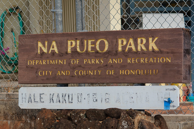
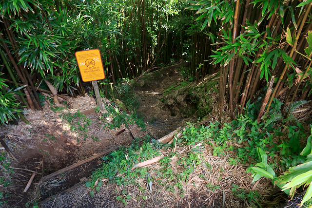
Headed up Alewa Heights to scout out the Kapalama Loop. Had to do some house cleaning in the morning so I did not have time to complete the full loop. I wanted to scout out the Na Pueo Park bypass (so as not to have to deal with the not-so-legal access issues of the Alewa Height Drive entrance.
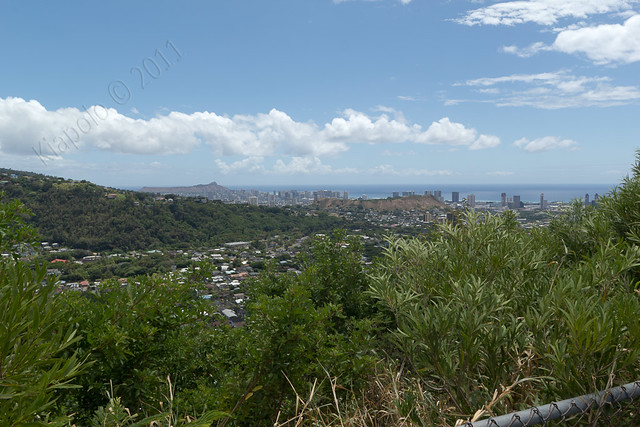
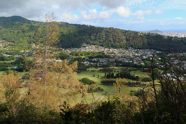
Na Pueo Park is a small park near the top of Alewa Heights. From the park there is a contour trail that access the Kapalama Loop (and the Lanihuli Ridge). The park provides wonderful views of downtown Honolulu and Nu`uanu Valley.
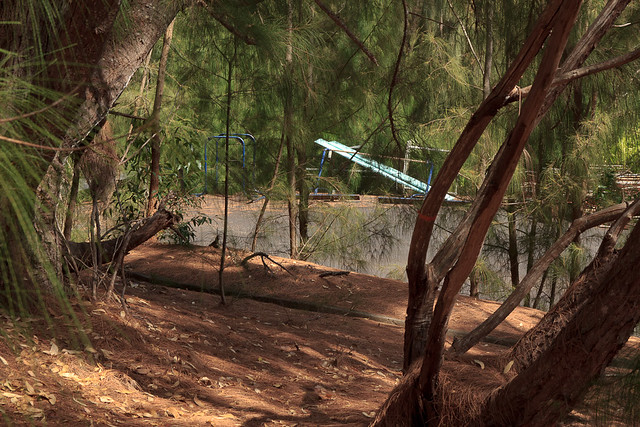
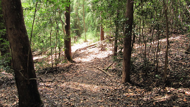
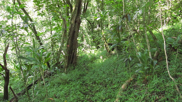
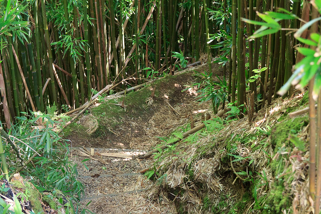
The trail from the park quickly becomes confusing as a network of trails crisscross the hillside. After about 20 minutes of exploring, I found the right trail and headed up to the Kapalama Loop (it's the trail heading downward, not the trail heading up to the water tank).
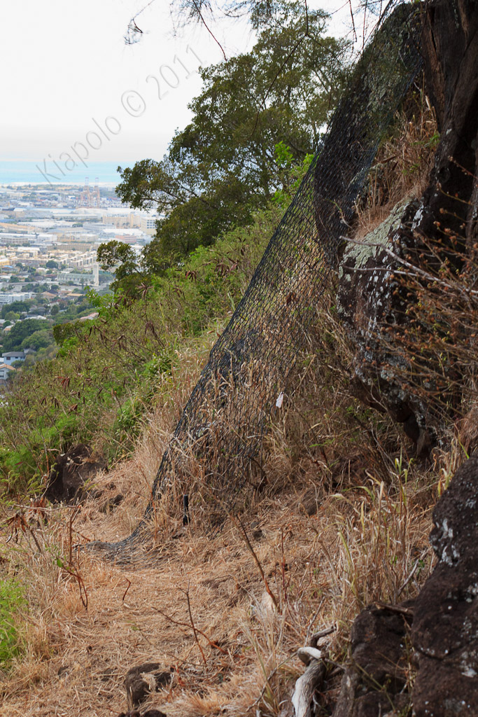
The trail leads to an area of exposed rock that the city/state has fenced and anchored so that lose boulders don't roll down the hill and slam into homes and people in Nu`uanu Valley.
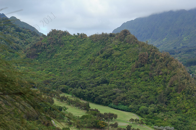
The tail also offers nice views up Nu`uanu Valley.
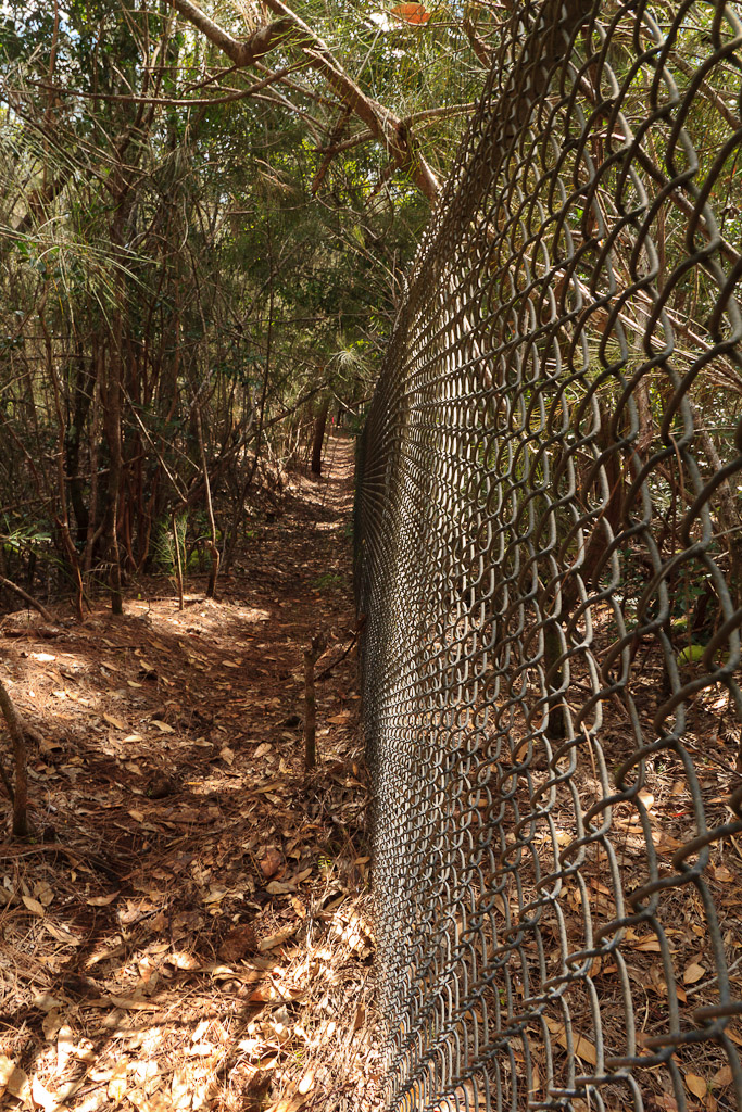
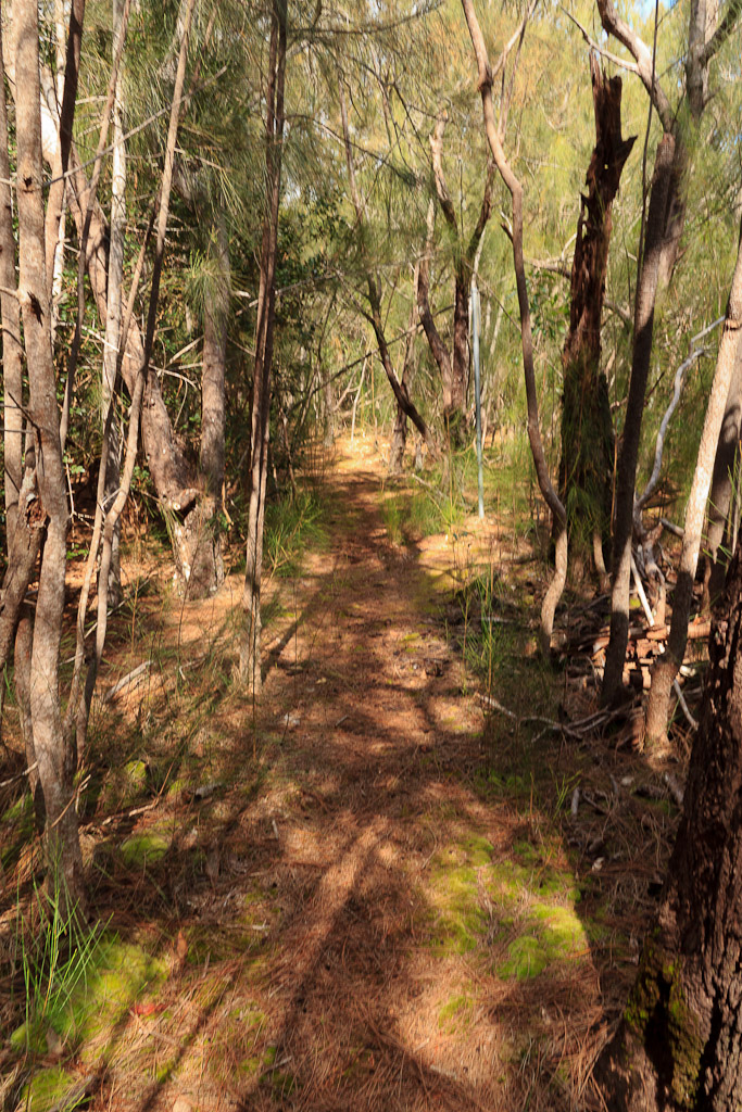
The bypass trail eventually parallels a chain link fence.
At the end of the fence line is the junction with the Kapalama Loop/Lanihuli Trails.
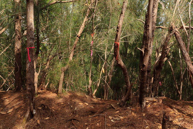
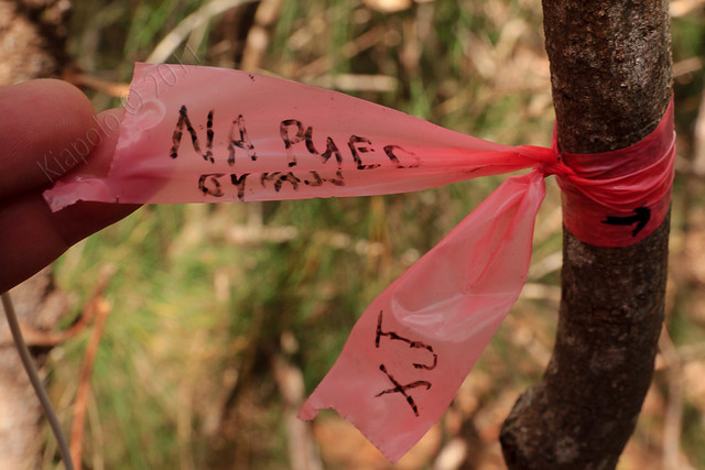
There are plenty of ribbons to mark the trail.
From the Na Pueo Park Bypass junction the trial heads either right and up the Lanihuli Ridge or left towards the top of the Kamehameha Schools Campus. I turned left and headed to the end of Girls Road/Dorm Circle at the top of the Kamehameha Schools Campus.
When I was in high school we came up here a couple of times to hang out. We weren't supposed to be here so it wasn't really a place I visited in high school. My uncles used to run on the road and trail above Kamehameha Schools, but by the time I was in high school we only ran the brutal hills on the lower parts of campus. It's too bad because it is really nice up at the top of the Kapalama campus.
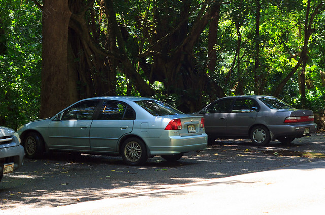
After only going a few more minutes along the northwestern part of the Kapalama Loop I had to turn around and head back to the car and pick up Sommer at work.
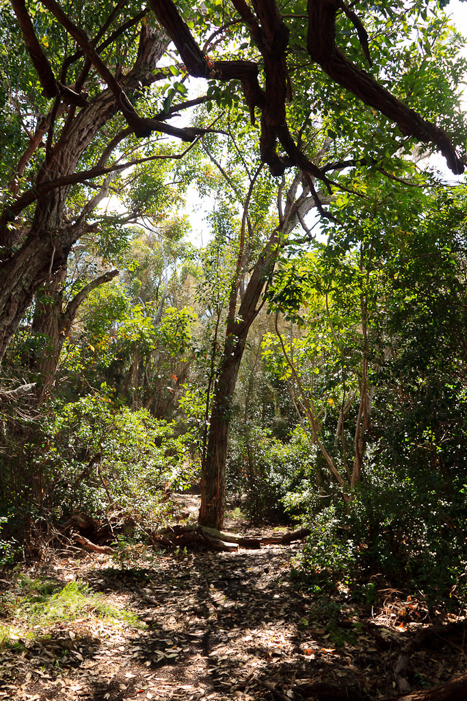
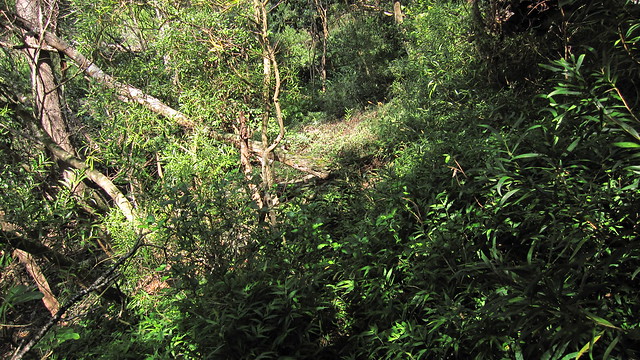
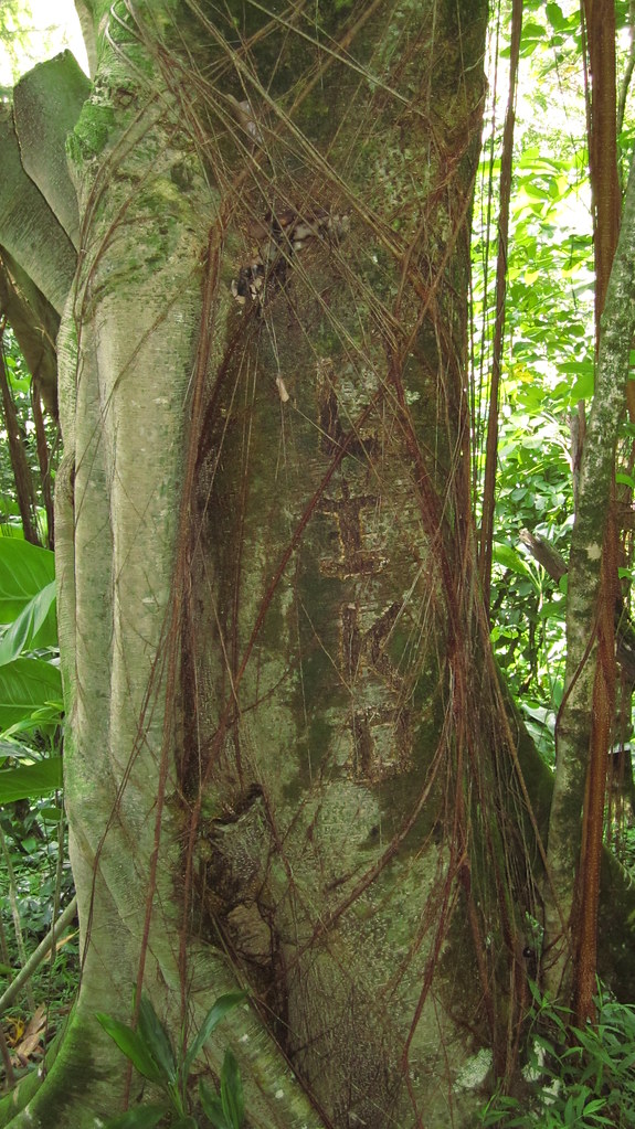
The Loop portion of the trail is much more overgrown and less traveled than the ridge summit. Near the spot I turned around it seemed that "Liko" needed to carve his name in a tree.
It was a good scouting trip for when i return and complete the loop. Hopefully the 5 mile-ish loop will become a regular on my hiking circuit.
Rest of the pictures:
Monday, September 19, 2011
Tuesday, September 06, 2011
Manoa Cliffs - Pu`u `Ōhi`a: Tantalus Ramble
September 3, 2011
Headed up Tantalus for a short hike and ramble around the network of trails intertwining the Tantalus area. Officially the State calls the trails the "Honolulu Mauka Trail System." The Honolulu Mauka Trail System is made up of 18 official trails in the Ko`olau above Makiki and Manoa.
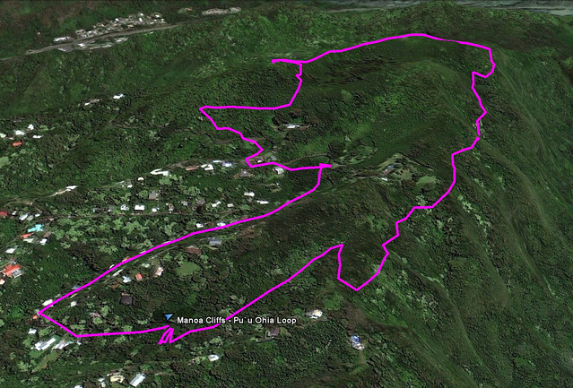
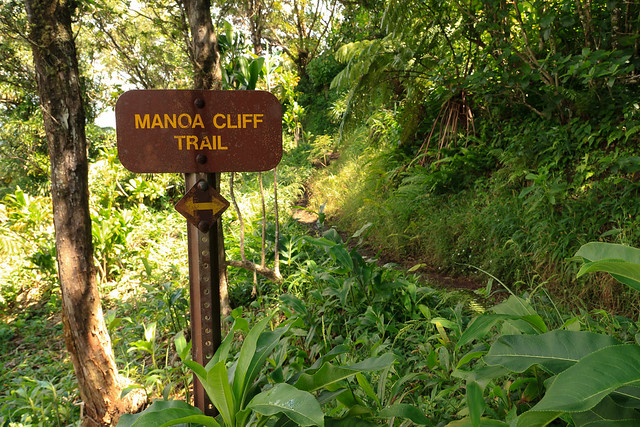
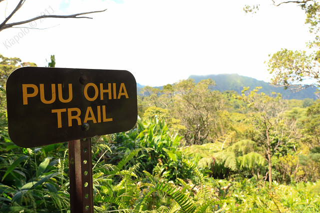
Today I headed up Tantalus and planned on hiking a short loop, up the Manoa Cliffs trail to the junction of the Pu`u 'Ōhi'a trail, continue up to the top of Pu`u `Ōhi`a then down the Pu`u `Ōhi`a trail to Round Top Dr., then along the road back to my car at the Manoa Cliffs trail head. It was a relatively short 3.5 mile loop.
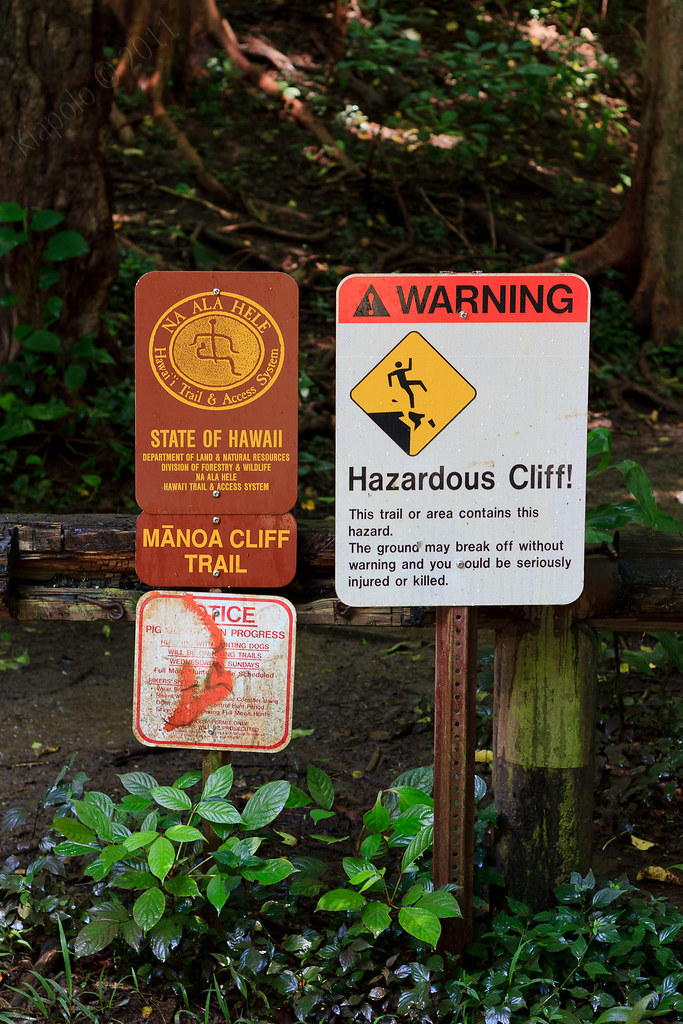
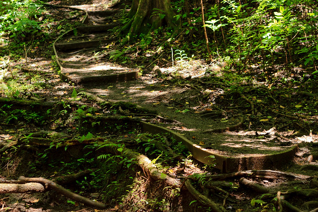
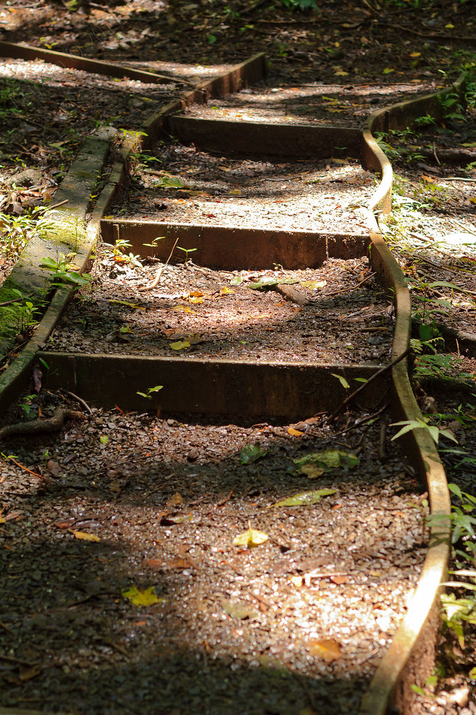
Back in 1995 I completed my Eagle Scout Project on the Manoa Cliffs Trail. The faux wood and gravel steps and pathways at the first incline section (just past the big rock) were done by myself and a crew of friends and family way back in March 1995.
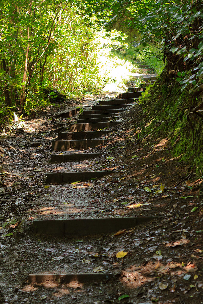
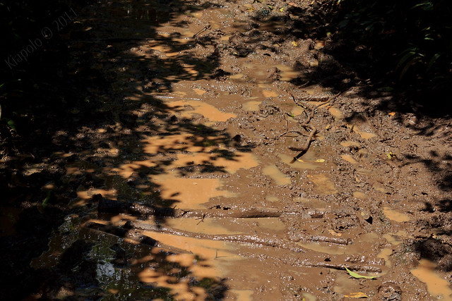
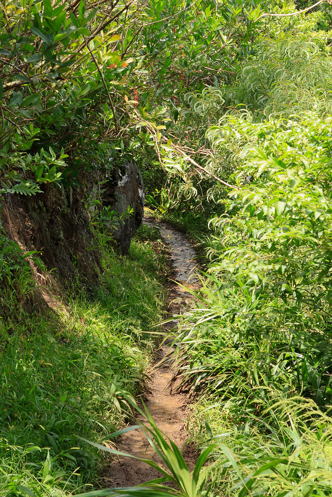
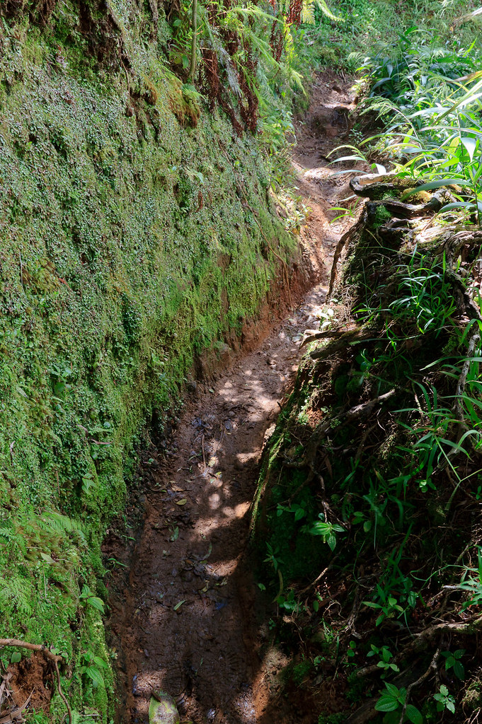
Today was the first time I ventured past my Eagle project on the Manoa Cliffs trail. The trail, like every other trail on Tantalus, is constantly wet and very muddy.
Thankfully DLNR does a great job of maintaining these trails.
The Manoa Cliffs trail contours the north face of Manoa Valley. I've frequented the
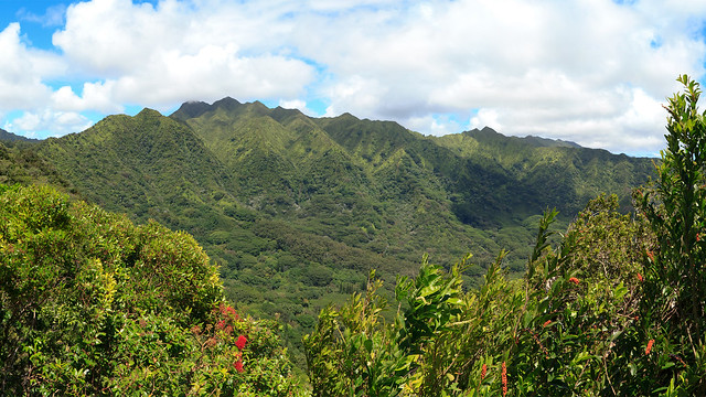
Kalawahine and Pauaoa Flats trails on the other side of Tantalus. Both Kalawahine and the Pauaoa Flats trails offer little views. The Manoa Cliffs Trail is the complete opposite. You are quickly rewarded with expansive views of the back of Manoa valley and the Ko`olau Summit.
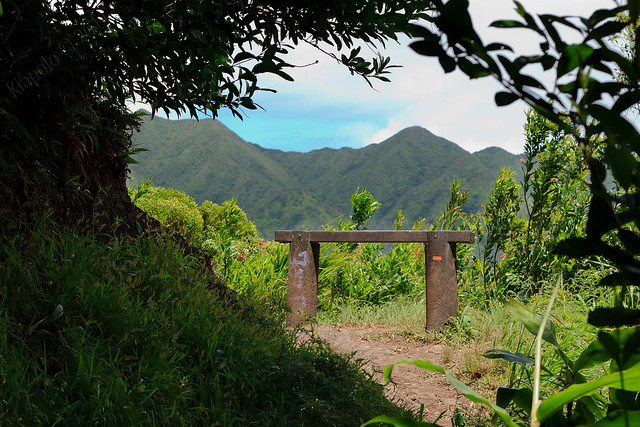
There is a nice bench along the way to sit and take in the views.
The Manoa Cliffs Trail junctions with the back of the Pu`u `Ōhi`a Trail. The Manoa Cliffs Trail continues on and eventually leads to the Pauaoa Flats Trail. I would be heading up the Pu`u `Ōhi`a trail to the top of Pu`u `Ōhi`a.
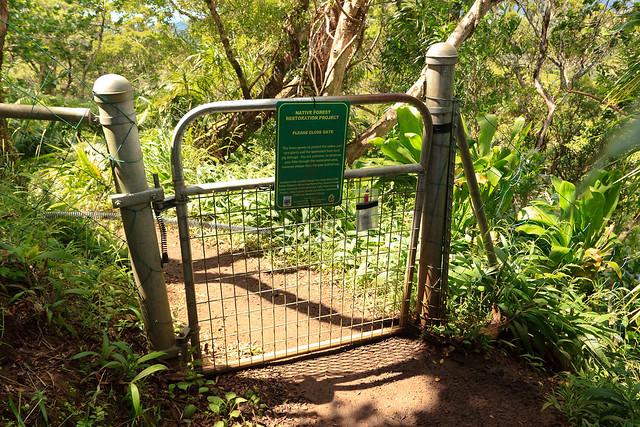
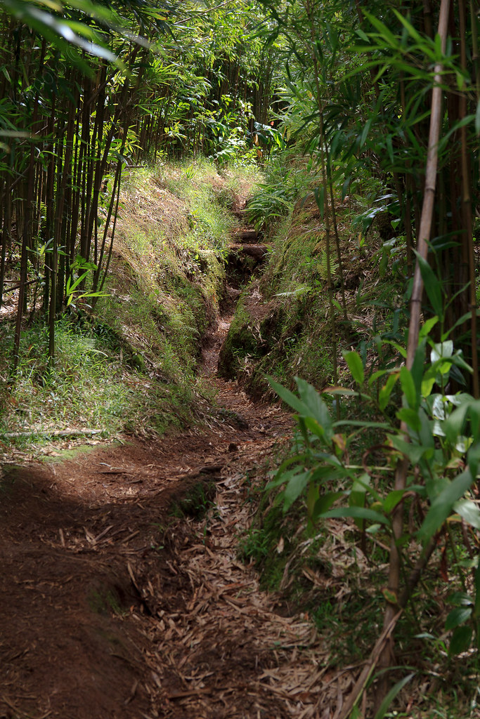
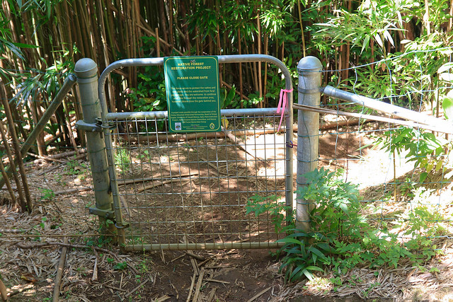
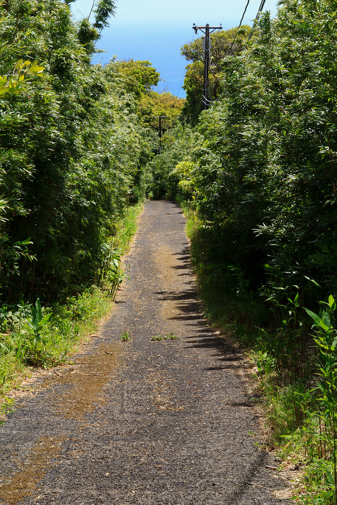
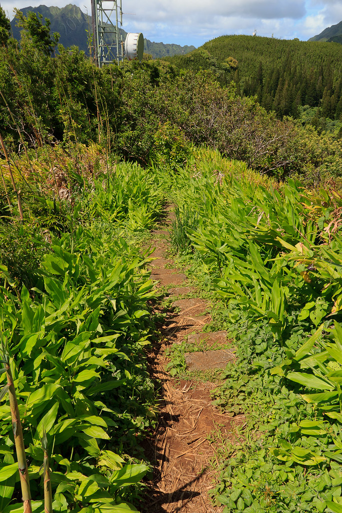
You pass through a gate and the trail continues up Pu`u `Ōhi`a through some think bamboo forest.
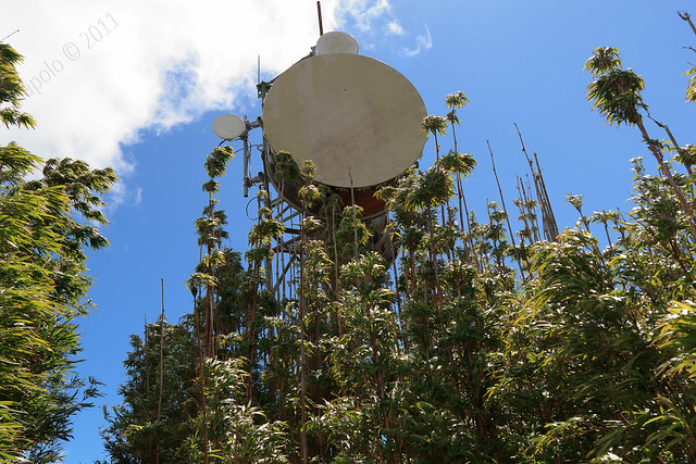
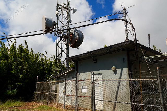
After a couple hundred yards there is another gate, and you are at a building and tower and the end of the access road.
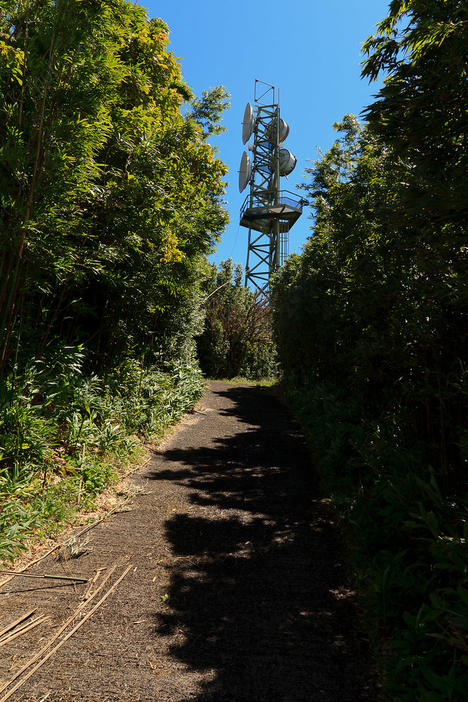
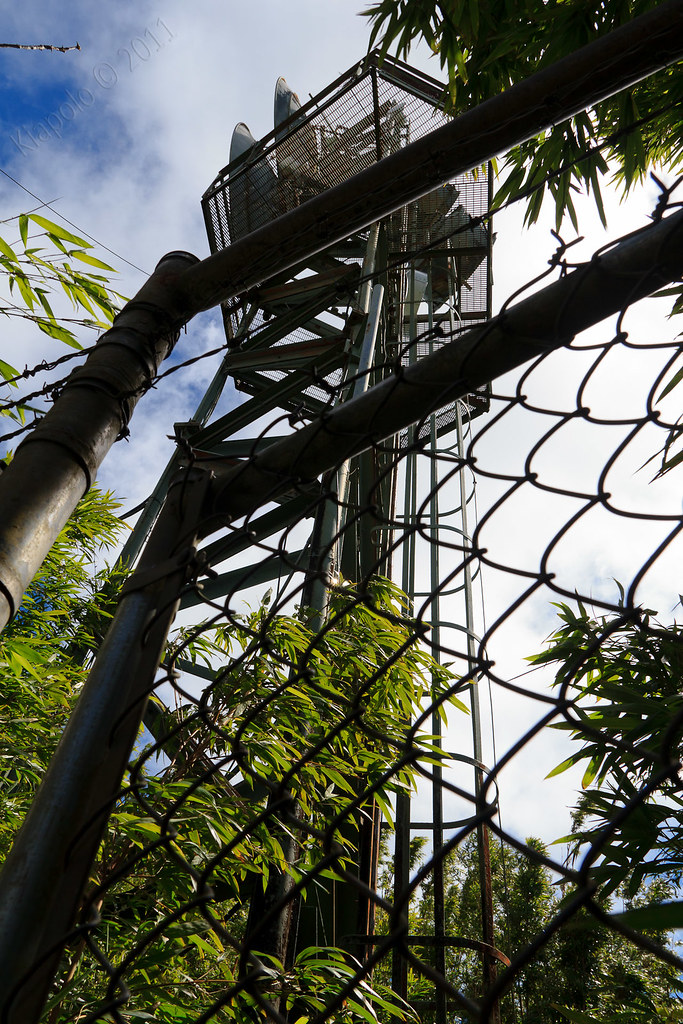
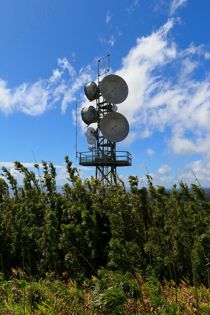
From the old tower the trail follows the access road to another taller tower, one that you can see from nearly everywhere along the southern O`ahu coast.
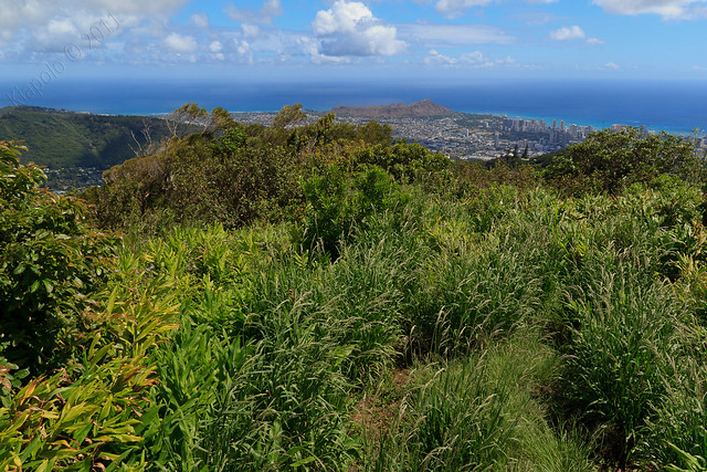
Past the tower is a trail leading to the summit of Pu`u `Ōhi`a. From Pu`u `Ōhi`a there is an impressive panorama of Honolulu from Diamond Head and the southern spine of the Ko`olau all the way up the Ewa plain and the Wai`anae Mountain Range.
The Pu`u `Ōhi`a trail picks up again just off the side of the access road. The trail plunges down Pu`u `Ōhi`a back to Round Top Drive.
From the trail head its a mile walk along Round Top Drive to the Manoa Cliffs trail head. Thankfully the car was still there and in one piece!
Rest of the pictures here:
Headed up Tantalus for a short hike and ramble around the network of trails intertwining the Tantalus area. Officially the State calls the trails the "Honolulu Mauka Trail System." The Honolulu Mauka Trail System is made up of 18 official trails in the Ko`olau above Makiki and Manoa.
Today I headed up Tantalus and planned on hiking a short loop, up the Manoa Cliffs trail to the junction of the Pu`u 'Ōhi'a trail, continue up to the top of Pu`u `Ōhi`a then down the Pu`u `Ōhi`a trail to Round Top Dr., then along the road back to my car at the Manoa Cliffs trail head. It was a relatively short 3.5 mile loop.
Back in 1995 I completed my Eagle Scout Project on the Manoa Cliffs Trail. The faux wood and gravel steps and pathways at the first incline section (just past the big rock) were done by myself and a crew of friends and family way back in March 1995.
Today was the first time I ventured past my Eagle project on the Manoa Cliffs trail. The trail, like every other trail on Tantalus, is constantly wet and very muddy.
Thankfully DLNR does a great job of maintaining these trails.
The Manoa Cliffs trail contours the north face of Manoa Valley. I've frequented the
Kalawahine and Pauaoa Flats trails on the other side of Tantalus. Both Kalawahine and the Pauaoa Flats trails offer little views. The Manoa Cliffs Trail is the complete opposite. You are quickly rewarded with expansive views of the back of Manoa valley and the Ko`olau Summit.
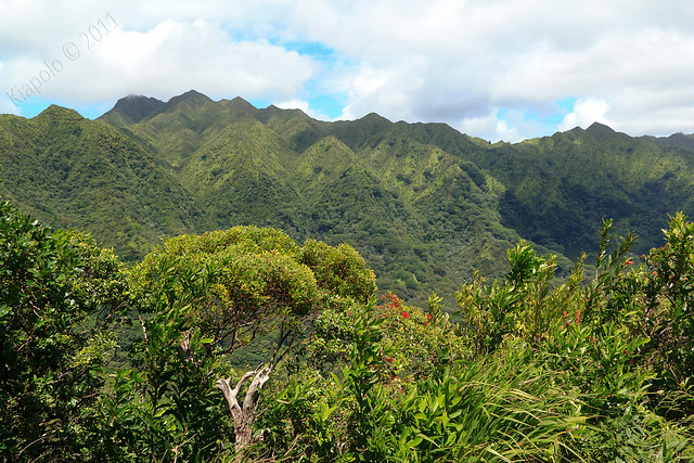 |
| Ko`olau Summit - From Konahuanui to Awaawaloa |
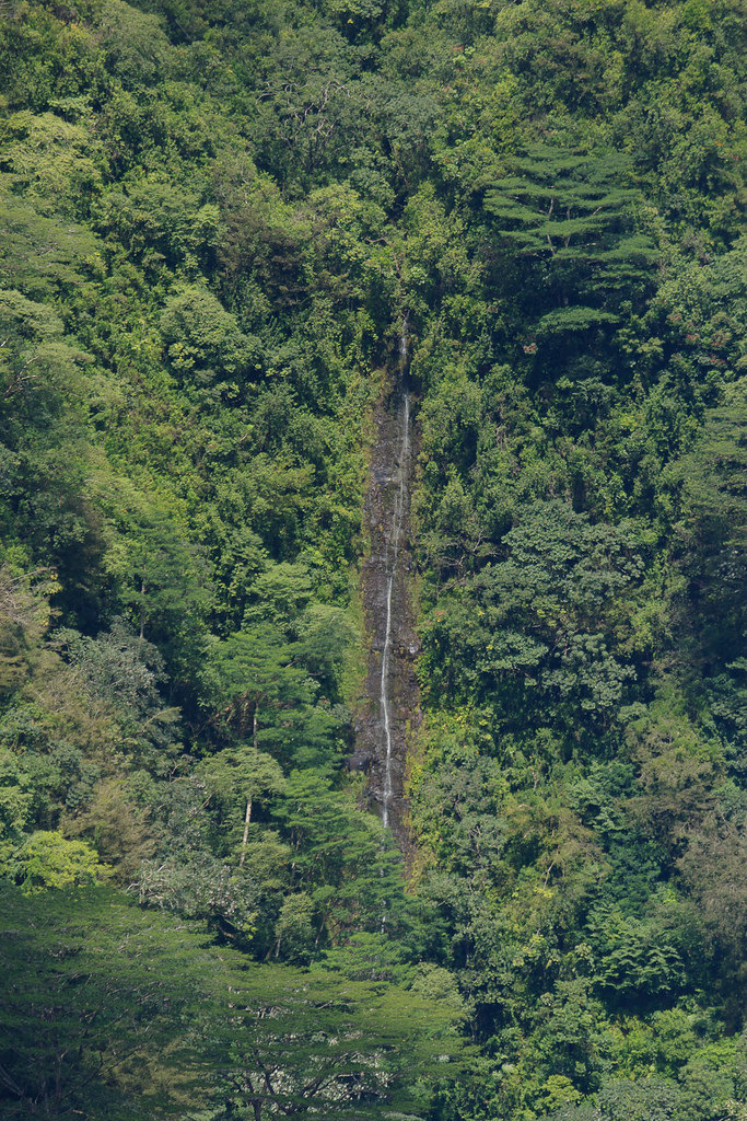 |
| Manoa Falls |
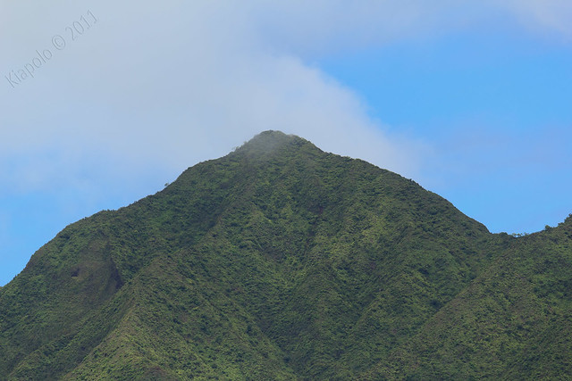 |
| Konahuanui Summit |
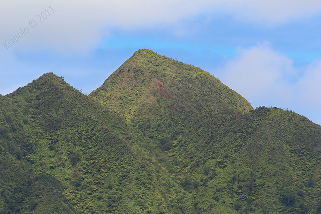 |
| Awaawaloa (Mt. Olympus) Summit |
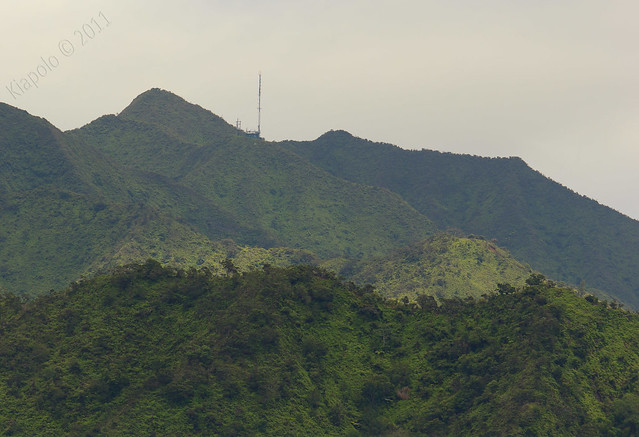 |
| Wiliwilinui Radio Tower and Summit |
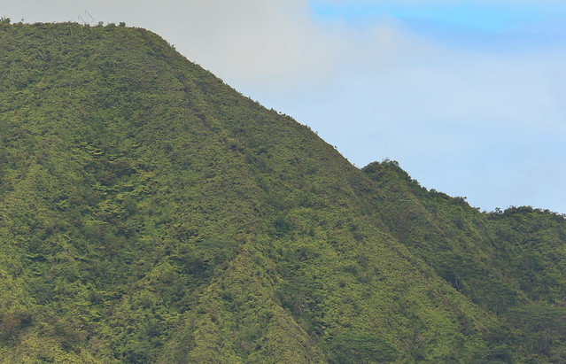 |
| Manoa Middle Ridge |
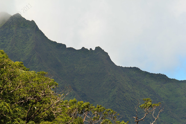 |
| The "W" (also known as True Pali Notches / Donkey Kong), on the Pali Puka Ridge |
There is a nice bench along the way to sit and take in the views.

The Manoa Cliffs Trail junctions with the back of the Pu`u `Ōhi`a Trail. The Manoa Cliffs Trail continues on and eventually leads to the Pauaoa Flats Trail. I would be heading up the Pu`u `Ōhi`a trail to the top of Pu`u `Ōhi`a.
You pass through a gate and the trail continues up Pu`u `Ōhi`a through some think bamboo forest.
After a couple hundred yards there is another gate, and you are at a building and tower and the end of the access road.
From the old tower the trail follows the access road to another taller tower, one that you can see from nearly everywhere along the southern O`ahu coast.
Past the tower is a trail leading to the summit of Pu`u `Ōhi`a. From Pu`u `Ōhi`a there is an impressive panorama of Honolulu from Diamond Head and the southern spine of the Ko`olau all the way up the Ewa plain and the Wai`anae Mountain Range.
The Pu`u `Ōhi`a trail picks up again just off the side of the access road. The trail plunges down Pu`u `Ōhi`a back to Round Top Drive.
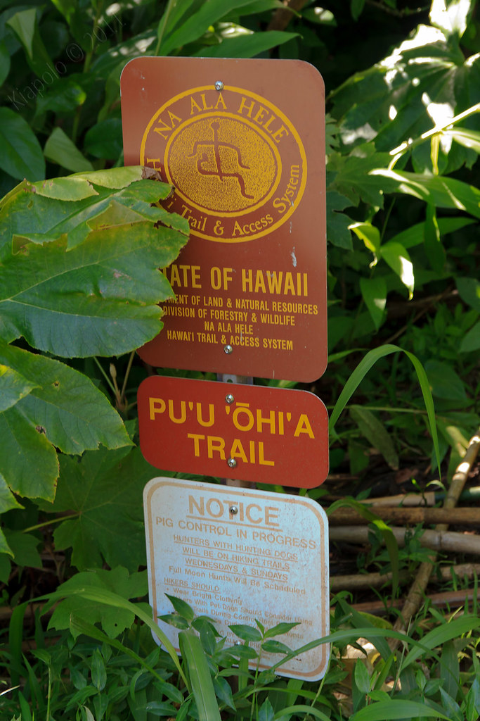 |
| Pu`u `Ōhi`a trail head on Round Top Drive. |
Rest of the pictures here:
Subscribe to:
Posts (Atom)
