A couple weeks ago
Wai`anae Steve posted to the Facebook group
O`ahu Weekend Hikers a
scan of the
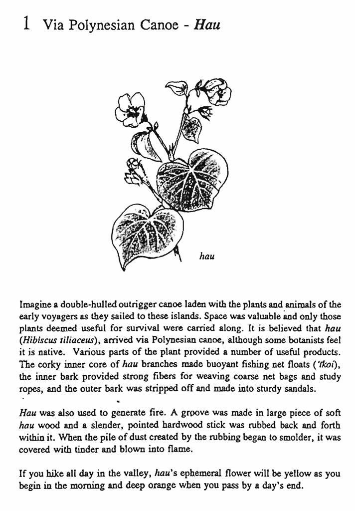
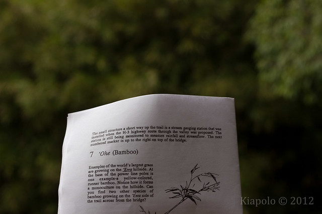
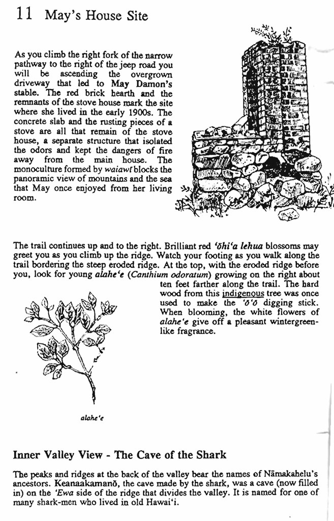
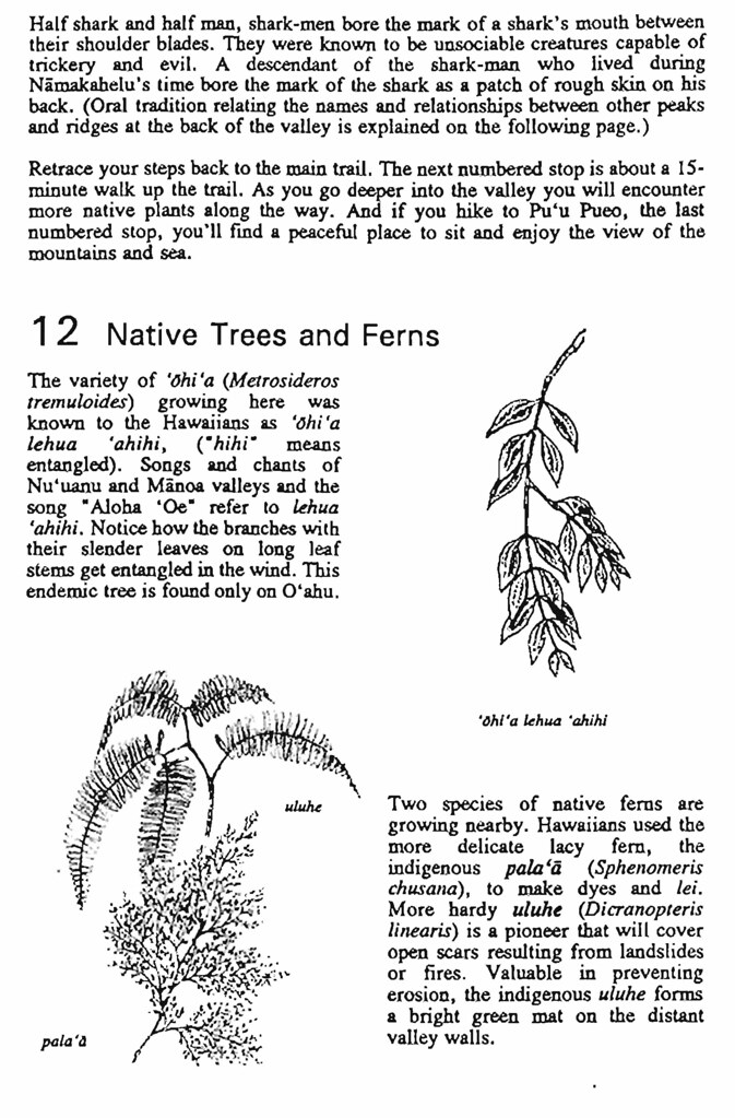
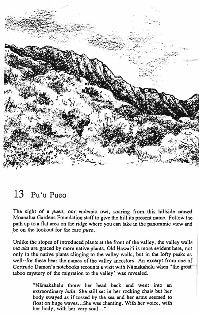
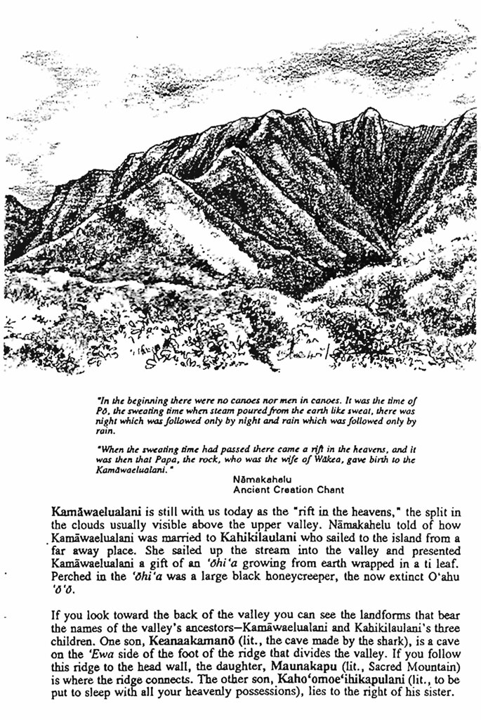
Moanalua Gardens Foundations self guided walking tour, "
A Walk Into The Past..." The booklet follows Kamananui Valley Road in Moanalua detailing the old Damon Estate homes and the ancient and recent history of the valley. I took the scans and converted them to pdf. You can download the pdf in
straight numerical order, or in
booklet order. The booklet version is meant to be printed two to a page and duplexed (binding on the right edge). The booklet version includes only the sections on the valley markers and a map of the valley.
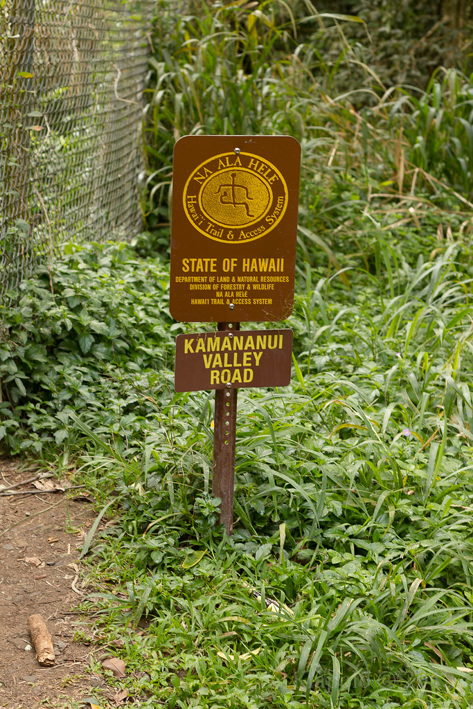
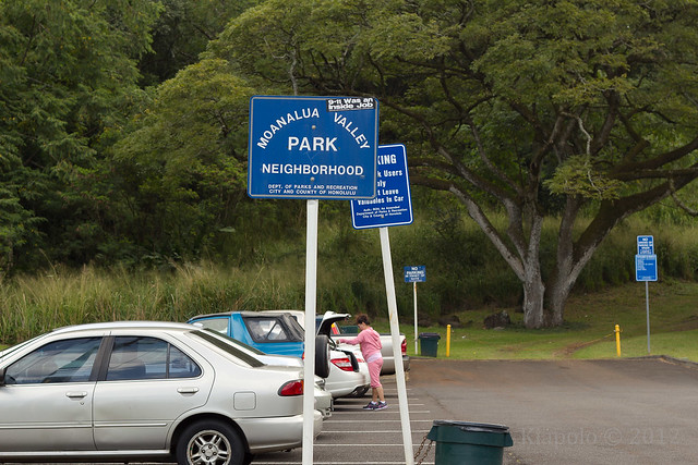
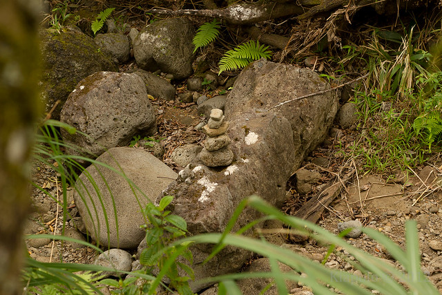
The first marker I'm assuming was at or before the gate at the back of Moanalua valley Park. It's no where to be found. The second marker was laying on the ground on the north side of the main gate. The scans did not include marker 2, so I don't really know what it was about.
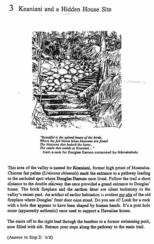
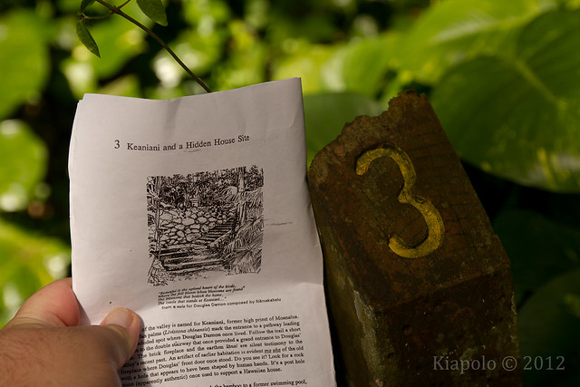
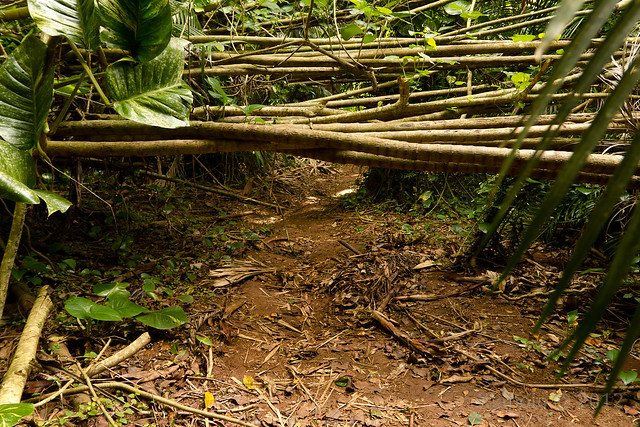
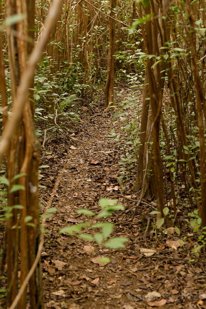
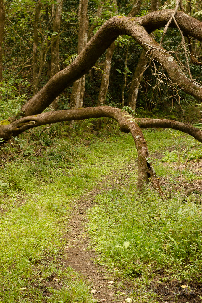
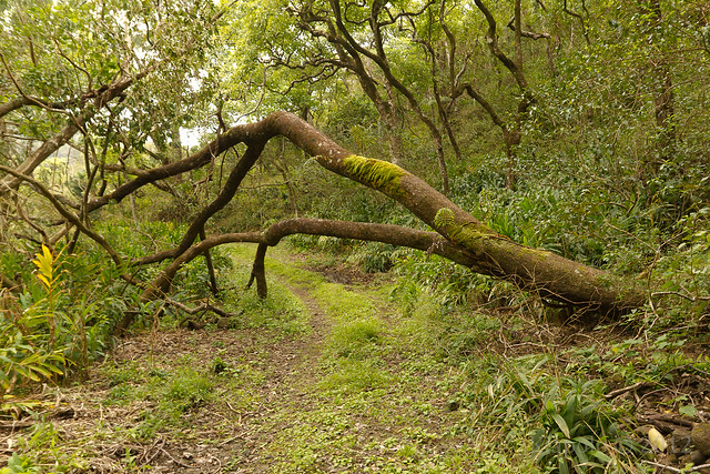
Marker 3 is the site of Douglas Damon's home ruins. The trail to the ruins are blocked by a downed clump of trees.
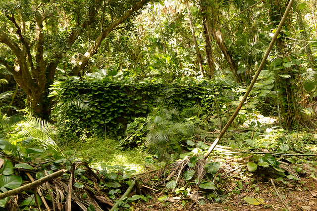
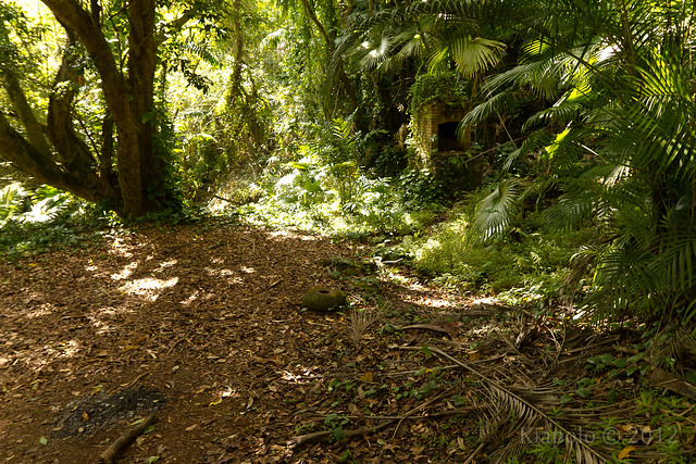
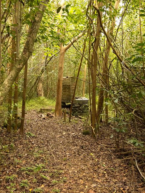
Just past the blockage is the foundation and ruins of the Damon home.
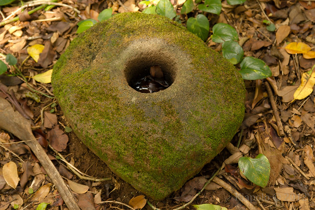
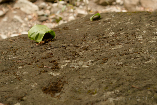
The Hawaiian house post hole is easily visible on the top of the foundation.
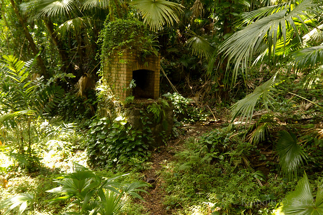
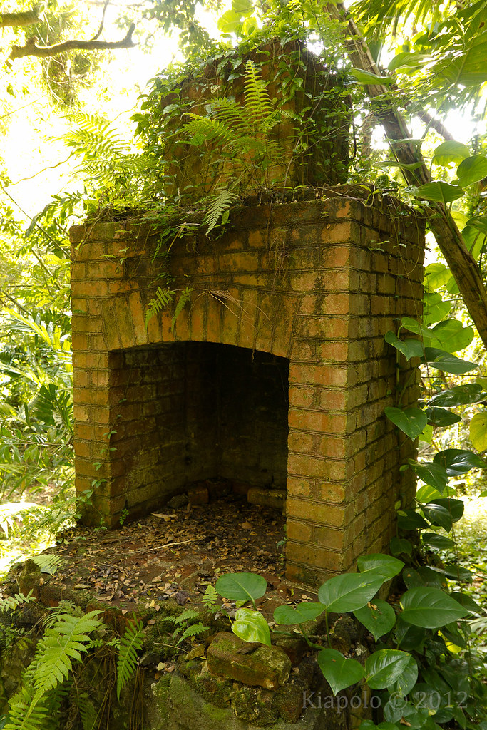
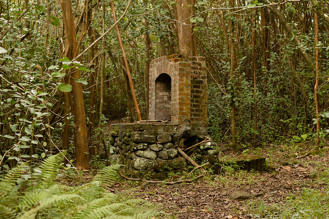
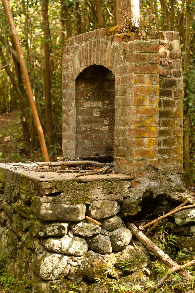
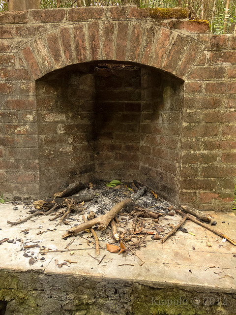
At the back of the foundation is the brick fireplace.
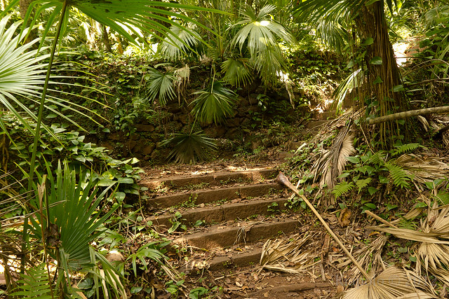
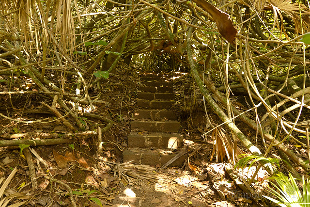
To the right of the foundation are the stairs leading to the filled in pool.
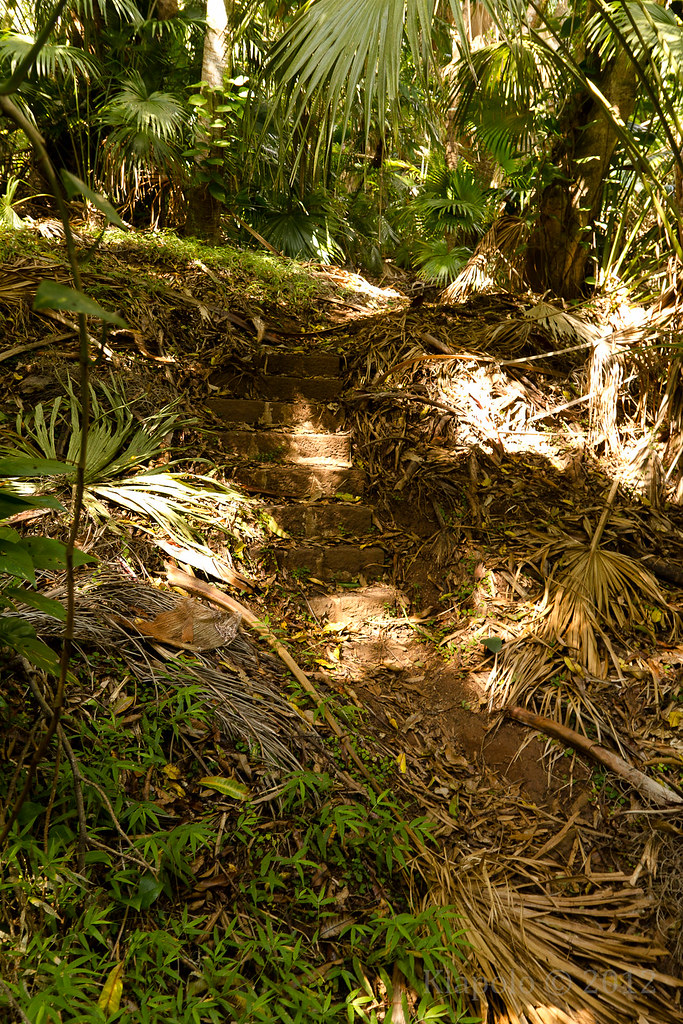
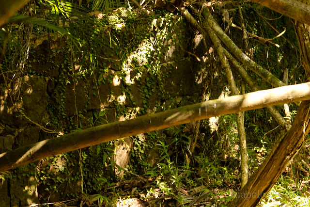
The stairs are no longer surrounded by bamboo, but are being reclaimed by the hau. At the end of the stairs are the walls of the silted pool.
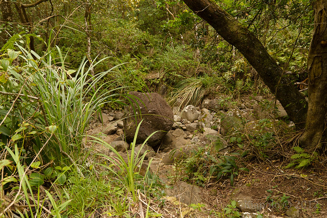
I couldn't find marker 4 along the road.
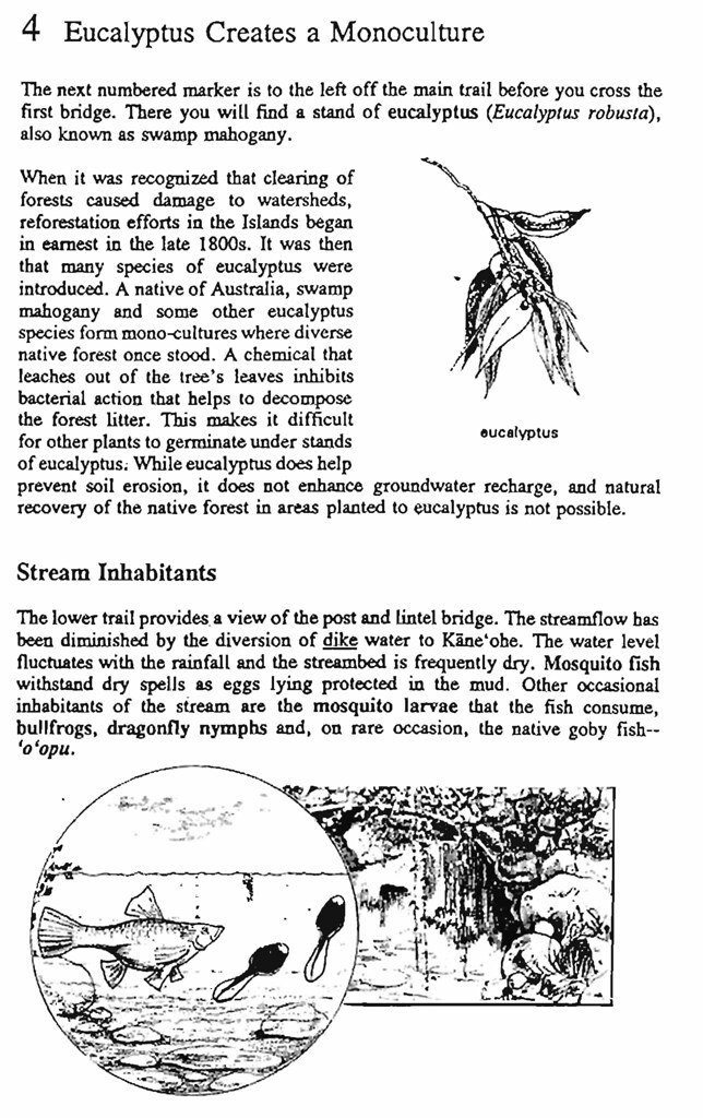
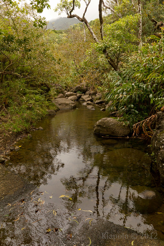
Of course the stream and first bridge remain, although the eucalyptus has lost its chemical warfare against its neighbors.
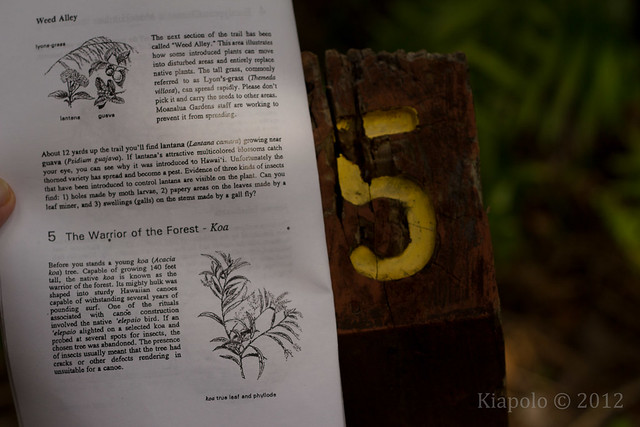
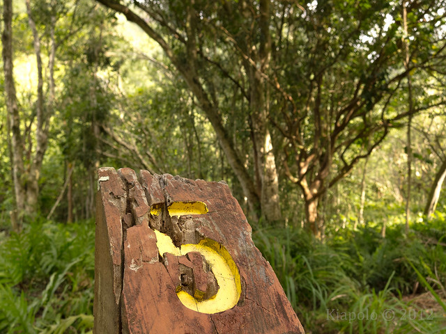
Marker 5 still stands...
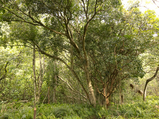
...but I didn't see any koa.
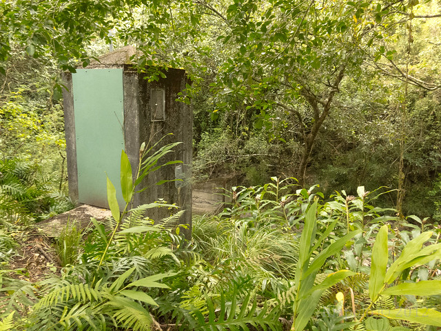
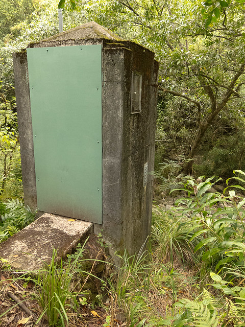
There was no marker 6, but the stream gauging station is still there.
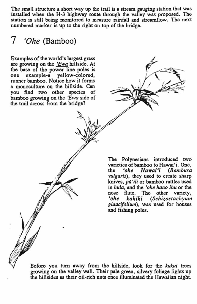
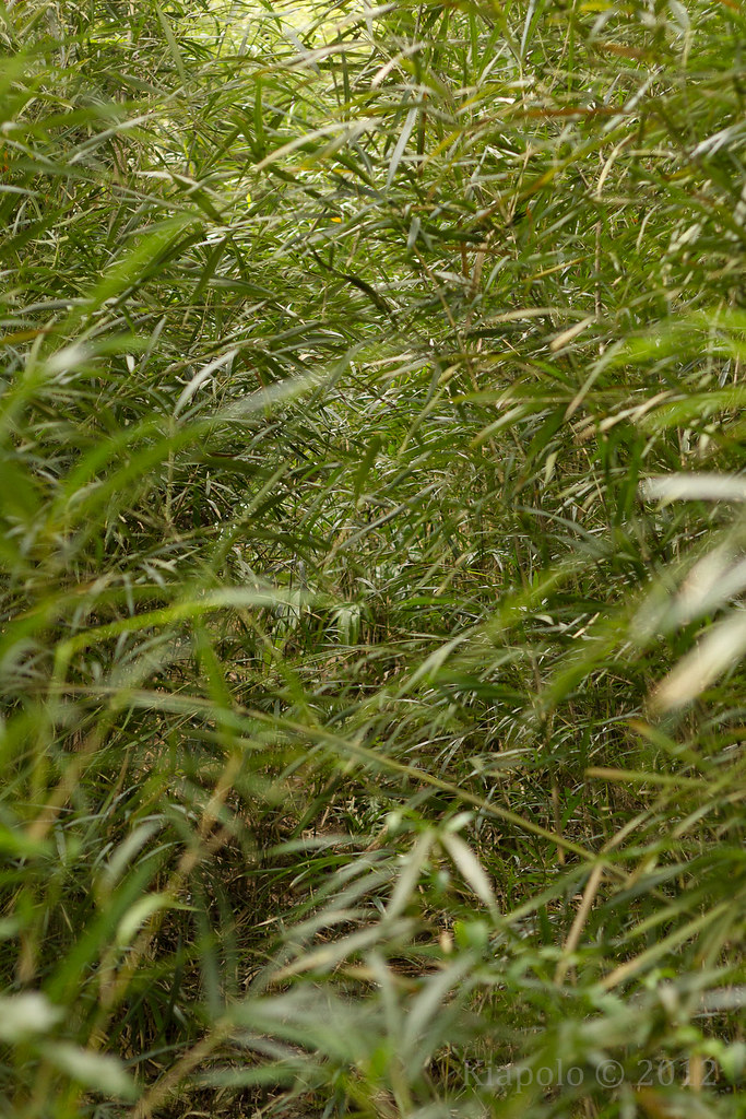
I didn't see marker 7, but the 'ohe (bamboo) is obvious.
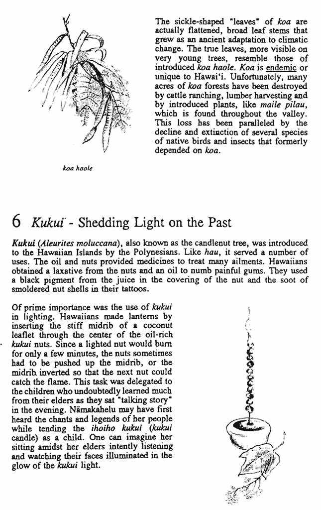
I did not see any kukui.
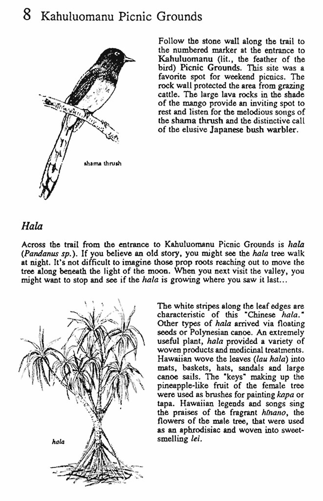
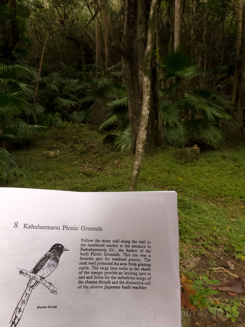
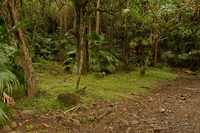
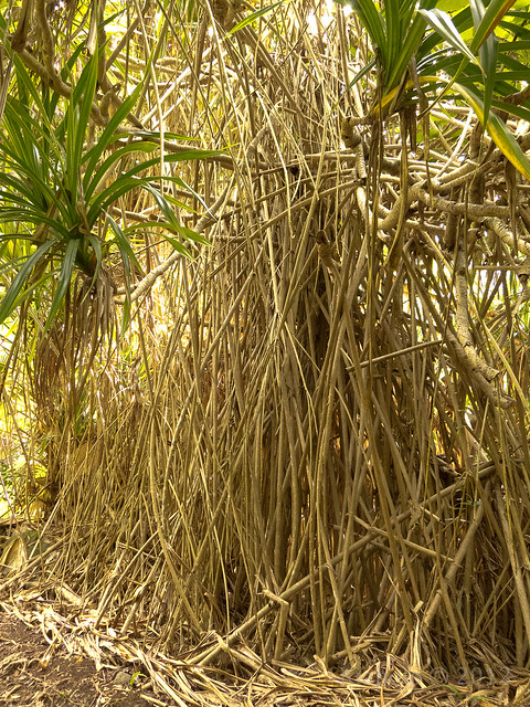
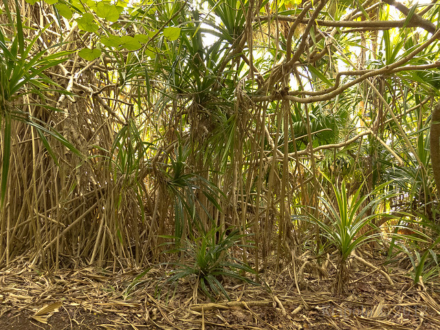
Again there was no Marker 8, but the rock wall, the picnic area and the hala is all there.
I didn't see any
ent hala, though.
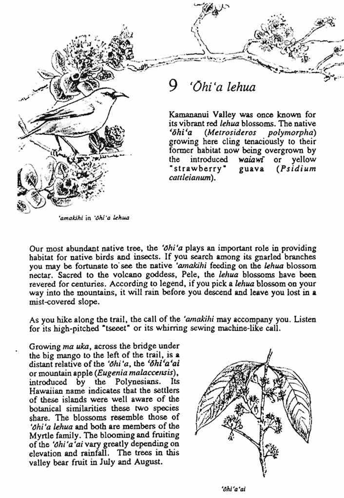
I didn't hear any `amahiki nor see any `ohi`a lehua or marker 9 along the jeep trail, especially so low in the valley.
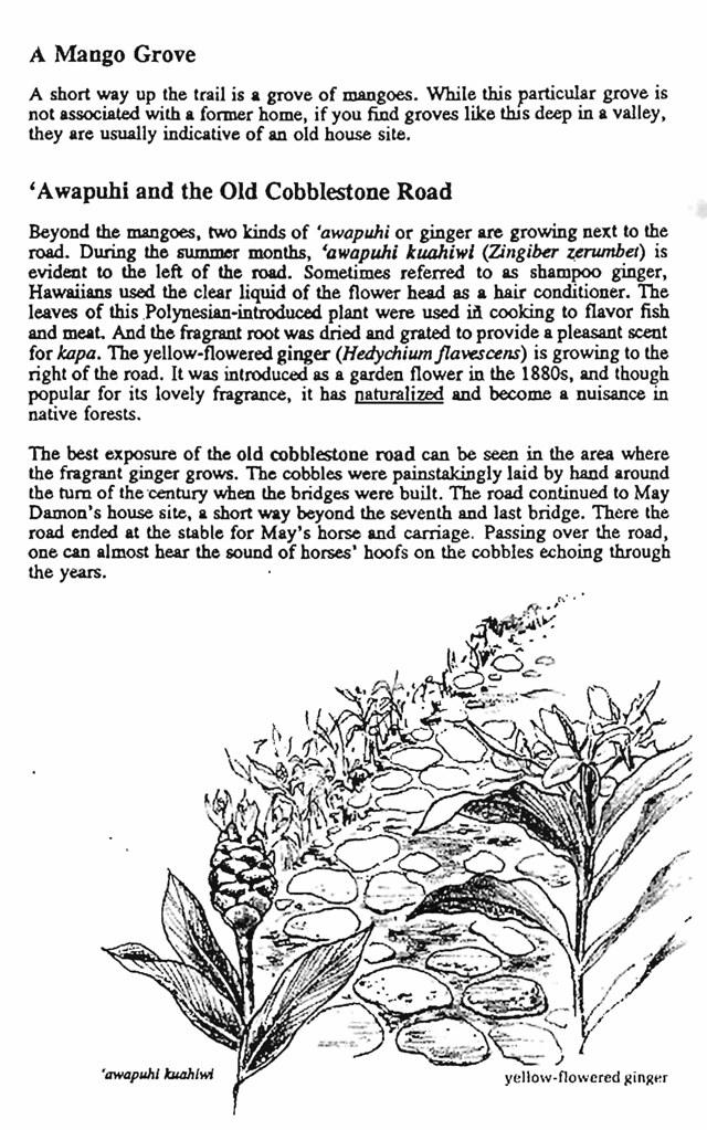
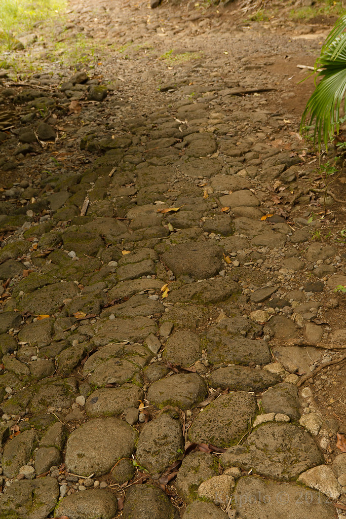
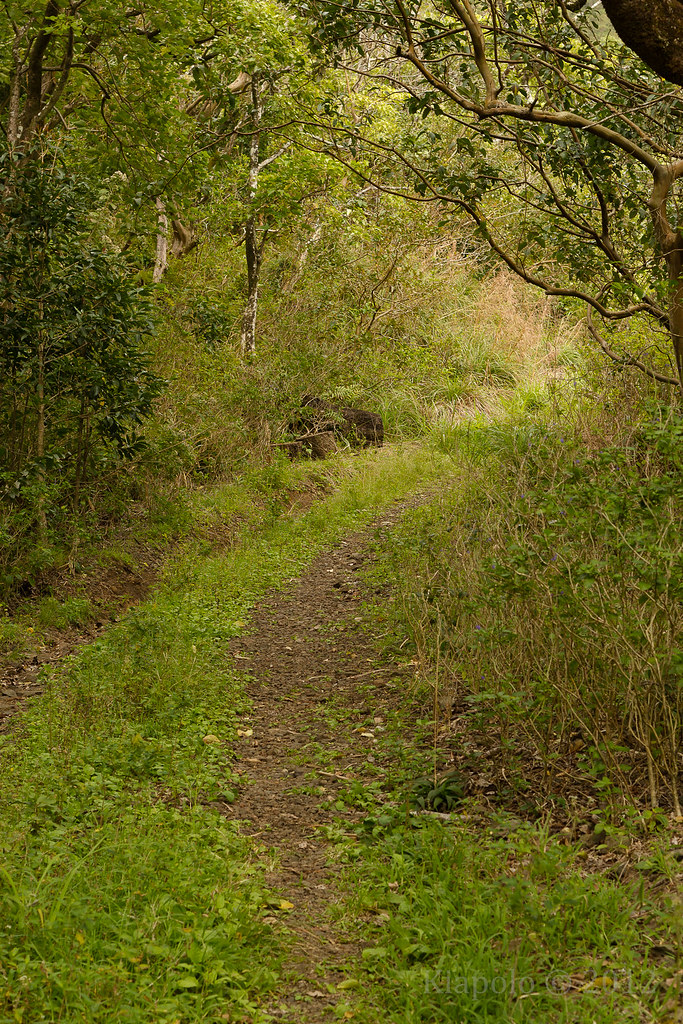
The cobblestone road is still there to be tread under-foot...
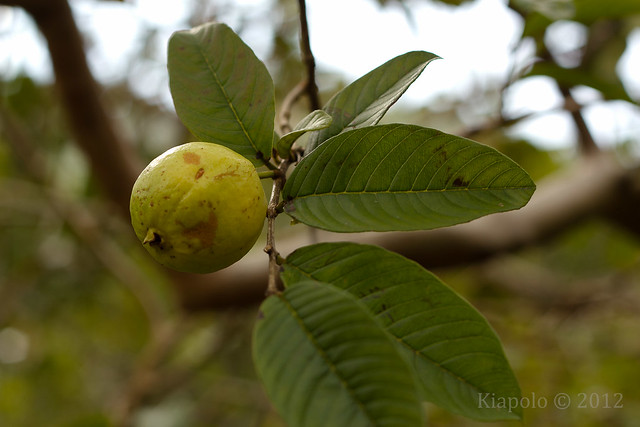
...but it seems the mango has long been pickled.
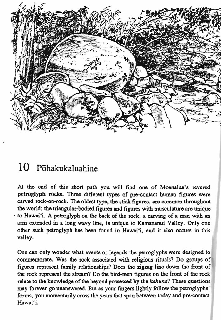
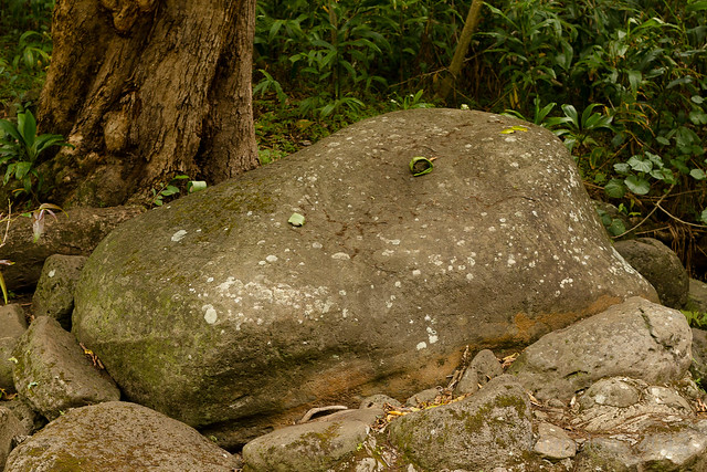
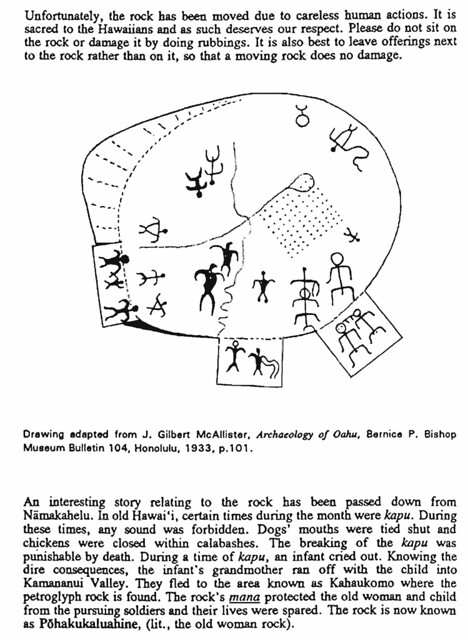
Pohakukaluahine is still resting peacefully on the banks of the Moanalua stream.
The petroglyphs are faded but still there.
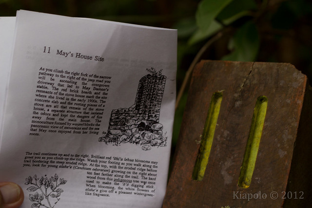
The jewel of the Damon estate in Kamananui valley are the ruins of May Damon's stable and stove house.
At marker 11 there is a short trail to the ruins of May's home.
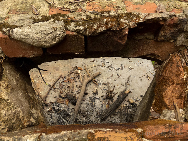 |
| Looking down the chimney. |
Just trail leads past the stove house ruins up to a look out with great views of the back of Moanalua valley.
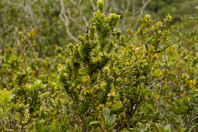
There are a grove of `ohi`a near the ruins of May's stove house.
None of the `ohi`a in this groove there were flowering.
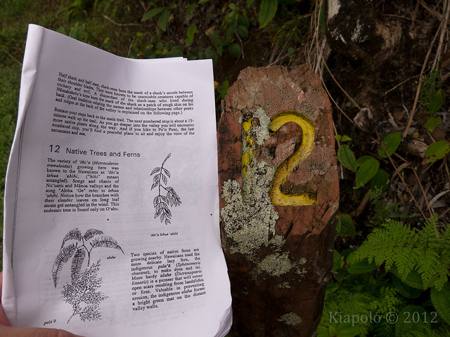
A little past May's house is marker 12.
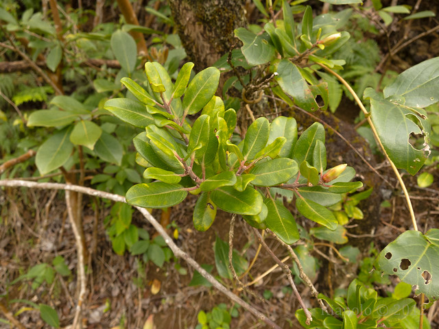
Surprisingly the `ohi`a, `uluhe and pala`a are all there, right at marker 12.
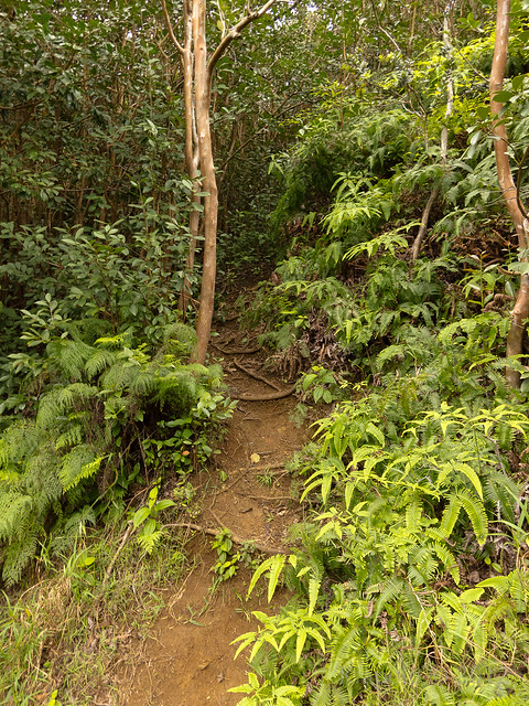 |
| Once of the trails leading to "Tripler Ridge" |
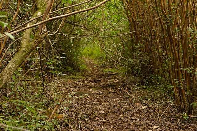
Thankfully the `uluhe is well off the road and not constantly tearing at your shins.
I didn't see marker 13, but the view is still there. I did not see any pueo standing guard of the valley.
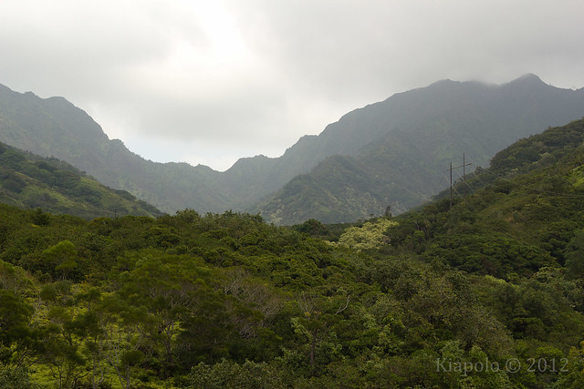
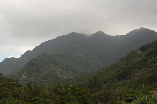
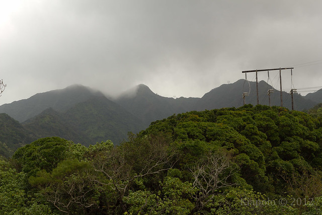
Once past Pu`u Pueo I followed Kamananui Valley Road up the valley. I had been up the valley quite a few times, but never to the "end of the road".
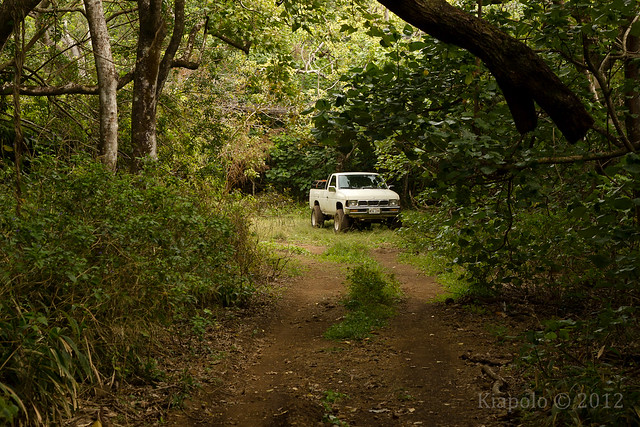
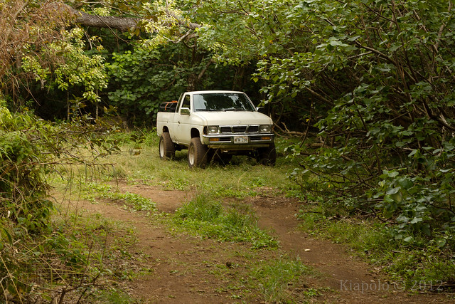
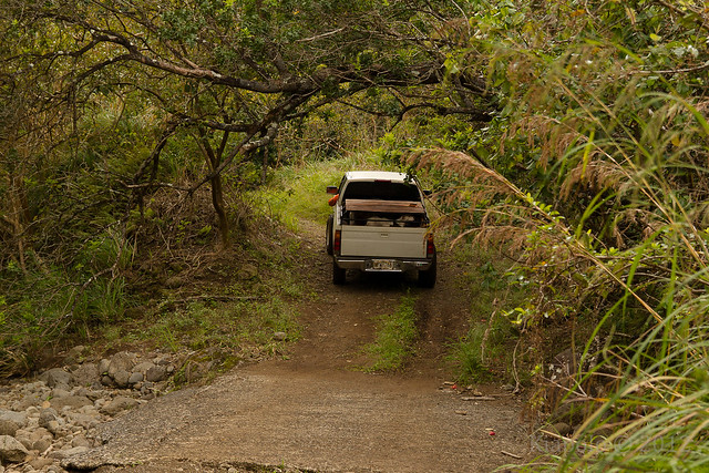
Near the start of the Kulana`ahane Trail there was a truck parked on the side of the road.
I didn't see any of the hunters on my way up the trail nor any of their dogs. I did hear some dog howling deep in the valley which made for an eeire walk at the back of the valley. As i got closer to the end of the road I could smell some kind of stink animal. It could have easily been hunting dog or pua`a.
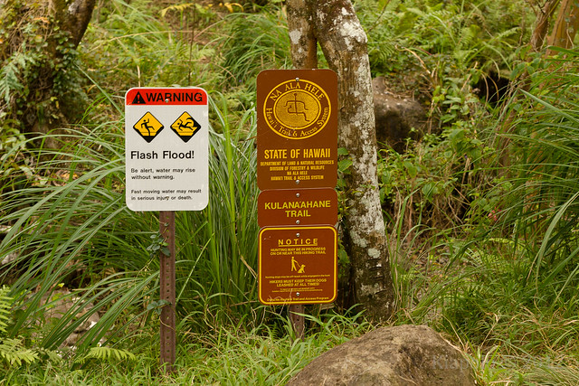
I quickly made my way past the
Kulana`ahane trail head and past the start of the
Moanalua Middle Ridge.
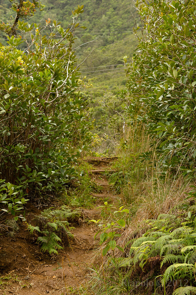
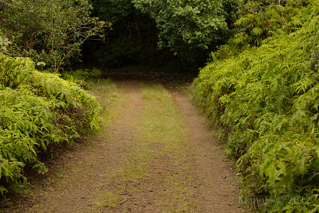
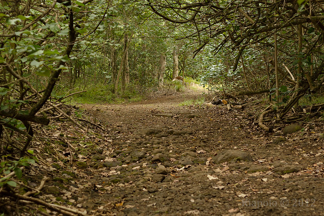
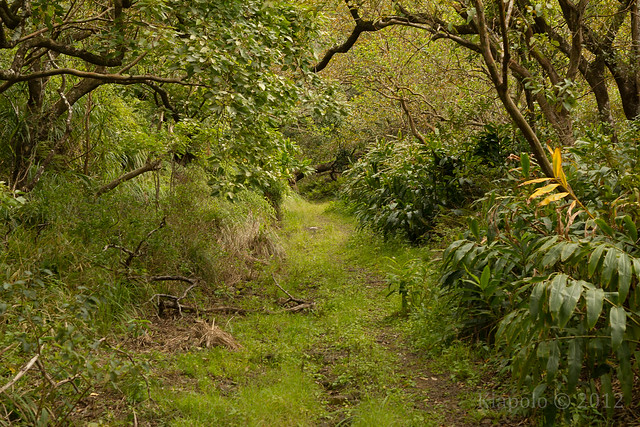
It appeared that the road past the two trail heads is seldom used. The road was uneven, deeply rutted and overgrown.
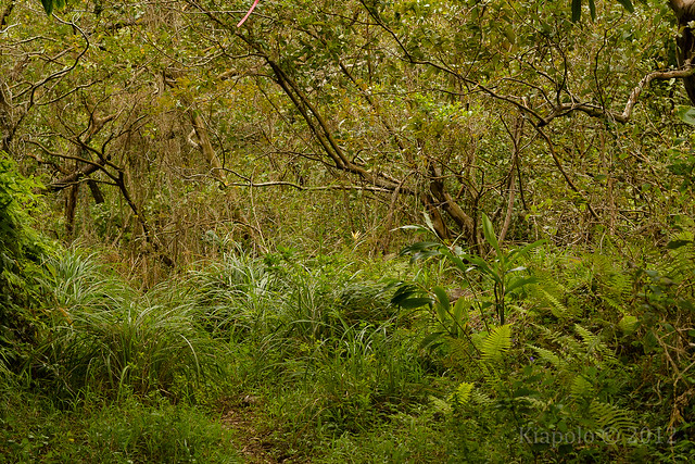
Finally the road turns for the last time over the Moanalua stream and turns into a overgrown trail.
 |
| Final stream crossing. |
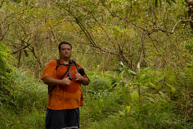
I took a picture of myself at the end of the road before heading back down, out of the valley.
I made great speed getting out of the valley, no longer needing to stop and explore along the way. While making my way out I was passed by the hunting party and their dogs driving out on the dirt road. Looks like they didn't catch any pua`a.
Making my way back I thought of how I used to think this old carriage road was a boring necessity to accessing much more interesting trails. How ignorant I was to the rich history I had been passing every time I drudged up this valley. Once again thanks to Steve and especially the Moanalua Gardens Foundation.
Rest of the pictures here:
GPS track:
